Sometimes, it takes a village – to save itself.
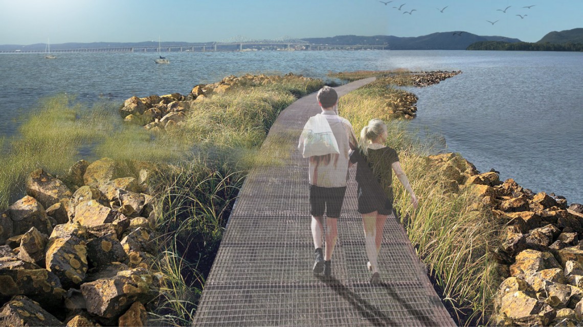
Residents of Piermont are staring down the barrel of climate change, as Hudson River flooding begins to encroach their waterfront streets. Cornell undergraduates presented concepts at a Dec. 12 open house on how to handle the environmental incursion.
“As residents, we don’t usually ask other people for help, but what we’ve found out is that we’re facing problems that we can’t solve,” said Vincent O’Brien, a former village trustee, who attended the Cornell students’ poster session. “We’re seeing these students, these new creative thinkers, put their arms around these problems with us. They’re opening the door to helping Piermont not only see the future, but to lead us into the future.”
Piermont is a cozy, attractive, low-lying village of 2,500 residents on the Hudson River’s western shore, within sight of the new Gov. Mario M. Cuomo Bridge, replacement for the Tappan Zee Bridge. The town’s area totals about seven-tenths of a square mile, and its topography features steep hillsides stretching down to the river. Piermont’s downtown sits along the waterfront, which is subject to tidal fluctuation, storm surge and projected sea level rise.
Residents packed Village Hall to see the landscape architecture, urban planning and engineering students’ ideas from the Landscape Architecture 4010 course, the Climate-adaptive Design (CAD) studio.